Better Site Design: Reducing Impervious Cover at the Source
Better site design is a comprehensive approach to land development that uses a range of planning and site layout techniques to reduce impervious cover and conserve natural areas. These methods are applied at the initial stages of a project, before stormwater treatment practices are designed, to minimize the generation of stormwater runoff at its source. By integrating stormwater management into the site layout process, developers and designers can create more sustainable and cost-effective projects.
The core principle is that preventing runoff is more efficient than treating it. Every square foot of impervious surface that is avoided is a corresponding volume of runoff that does not need to be managed by a pond, infiltration trench, or other structural practice. The relationship between imperviousness and runoff is direct and quantifiable.
For example, the Simple Method formula, Rv = 0.05 + 0.9 * Ia, explicitly links the runoff coefficient (Rv) to the fraction of impervious area (Ia) on a site. Designers can use the Simple Method runoff calculator to estimate how reductions in paved surfaces translate to lower runoff volumes, making the case for each technique in concrete numbers.
Streets and Driveways
Streets, driveways, and other transportation-related surfaces are often the largest component of impervious cover in a development. In residential subdivisions, they can account for 40% to 50% of total site imperviousness. Reducing the footprint of these surfaces offers a significant opportunity to decrease runoff.
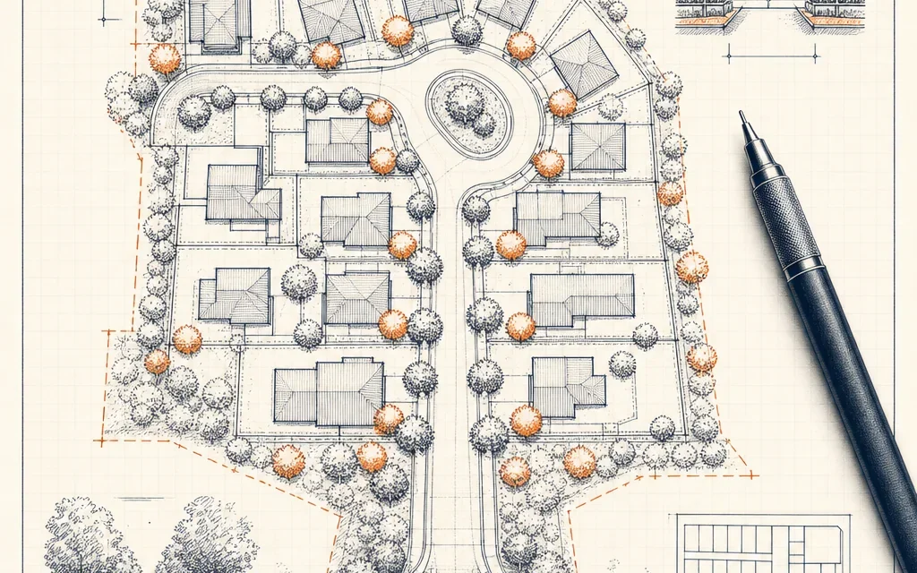
One of the most effective strategies is designing narrower residential streets. Many local codes mandate street widths of 32 to 40 feet, but for low-traffic residential areas, widths of 22 to 26 feet can safely accommodate vehicle access, parking, and emergency services while substantially reducing pavement.
The design of street ends also presents an opportunity for impervious cover reduction. Implementing cul-de-sac alternatives, such as smaller turnaround radii, landscaped center islands, or loop roads, can eliminate the large, underutilized bulbs of pavement common in conventional designs.
At the lot level, using paving alternatives for driveways, walkways, and overflow parking areas can further reduce imperviousness. Materials like permeable pavers, reinforced turf, or gravel allow rainfall to infiltrate into the soil rather than becoming surface runoff.
Parking
Parking lots are another primary source of impervious cover in commercial, institutional, and multi-family residential developments. Traditional parking design often results in vast expanses of asphalt that generate significant runoff and contribute to the urban heat island effect.
The principles of green parking aim to minimize this impact by rethinking parking requirements and design. This includes adopting demand-based parking ratios instead of oversized, prescriptive minimums, which often leads to a surplus of unused spaces. Other techniques involve designing smaller parking stalls, promoting shared or structured parking to use land more efficiently, and integrating vegetated bioretention areas into parking islands and medians to capture and treat runoff.
Conserving the Land That Does the Work
Beyond minimizing newly created impervious surfaces, better site design emphasizes the strategic conservation of existing natural areas that provide critical stormwater functions. Protecting forests, wetlands, and undisturbed soils preserves their natural capacity to intercept, store, and infiltrate rainfall.
Establishing streamside buffer zones is a foundational conservation practice. A common approach is the three-zone buffer system, which creates a series of managed and undisturbed vegetated areas adjacent to streams to filter pollutants, stabilize banks, and protect aquatic habitat.
For long-term protection, conservation easements are a powerful legal tool. These voluntary agreements allow landowners to permanently restrict development on portions of their property, ensuring that sensitive natural areas are preserved in perpetuity while the land remains in private ownership.
At a broader planning scale, municipalities can adopt watershed-based zoning to align land use regulations with environmental goals. This approach uses subwatershed characteristics, such as impervious cover targets, to guide the intensity and location of new development, thereby protecting the most critical areas and managing cumulative impacts.
Where to Start
Implementing better site design begins with a thorough assessment of site conditions and development goals. A crucial first step is to measure existing impervious cover and project the impervious footprint of a proposed conventional design. From there, designers can model how various better site design techniques, applied from the planning level down to the lot level, can reduce that footprint. The techniques have a compounding effect; a subdivision that combines narrower streets, smaller parking lots, and preserved natural buffers will achieve a far greater reduction in runoff and environmental impact than a project that applies only a single practice in isolation.